 Forest road tour
El Yunque Rainforest Hike with Transport from San Juan
4.95 166 reviews 96% five stars
- 6 hours
- Up to 12
- English, Spanish
- Hotel pickup
- Free cancellation up to 24 hours before
from $125 per person
El Yunque Trail climbs 2.6 miles one way toward El Yunque Peak. You reach the peak on foot; Forest Road 10 excludes public vehicles.
The upper El Yunque Trail and the Mt. Britton Spur close November 6, 2026 to April 30, 2027, from mile 0.63 up to Los Picachos. Forest Service notice
Caimitillo Trail and picnic area are closed during construction. Forest Service notice
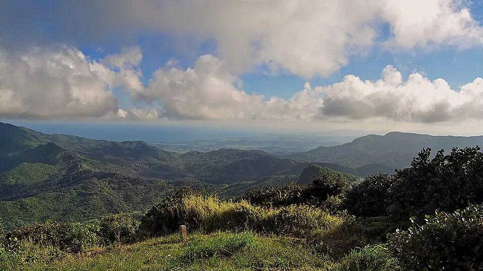
For El Yunque Trail, follow PR-191 to km 12.0 in the Palo Colorado area. Access trails include Caimitillo Trail and Mt. Britton Spur. Check the trail notices before choosing your approach.
On the road: km 12.0 is the trail's road reference; parking is permitted only in designated areas.
Part closed Status as the Forest Service lists it, read on November 7, 2026.
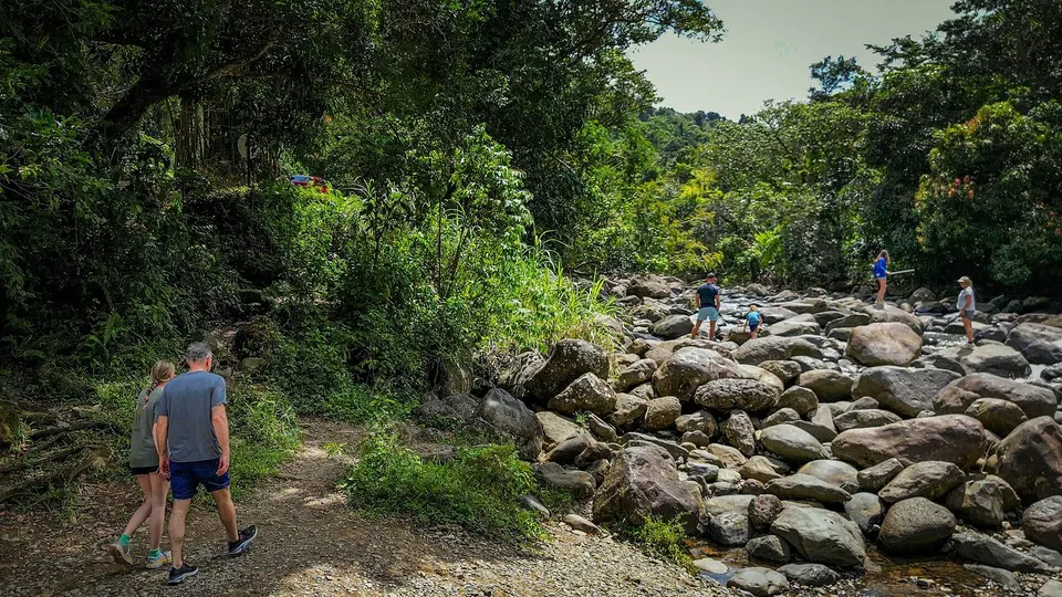
If it rains: allow for muddy sections on El Yunque Trail. One rain shelter sits midway through the first half of the full trail.
El Yunque Trail climbs 1,378 feet through palo colorado forest, sierra palms and cloud forest. The full climb is challenging. Underfoot, the surface changes between asphalt, gravel and native stone, with mud in places.
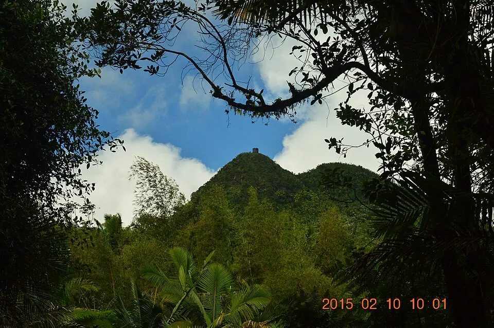
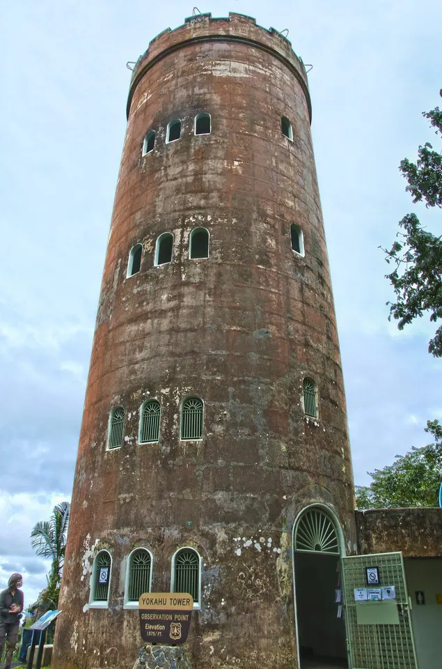
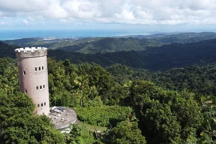
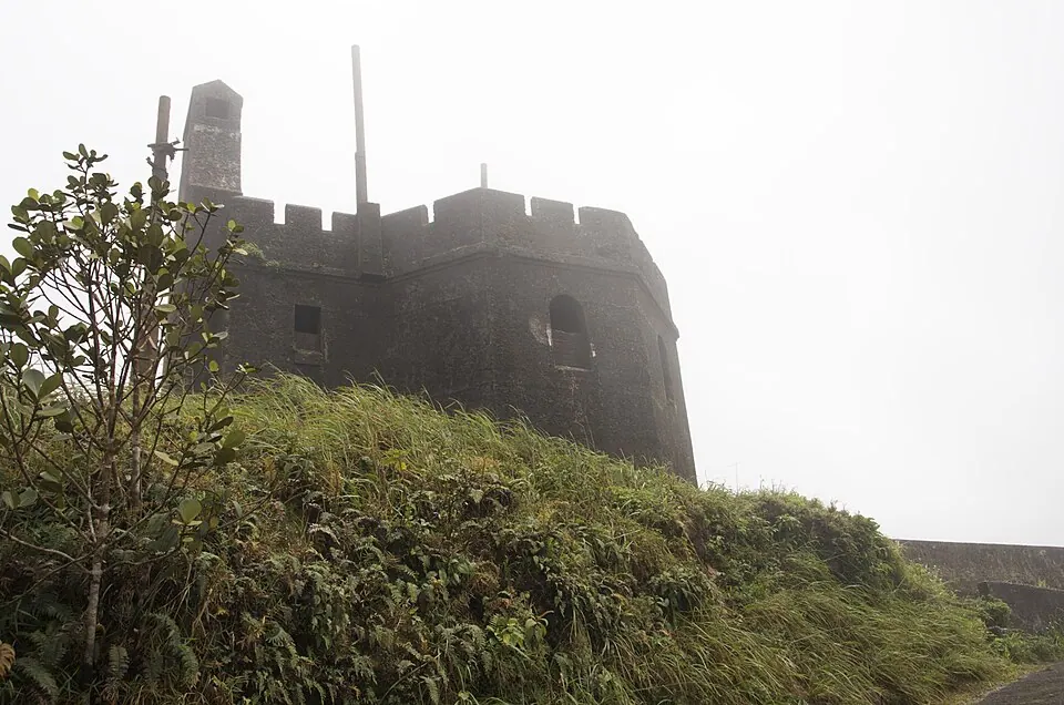
The concrete observation tower marks the destination at El Yunque Peak. The full trail runs from 2,067 feet to an upper end of 3,445 feet. One rain shelter sits midway along the first half of the trail.
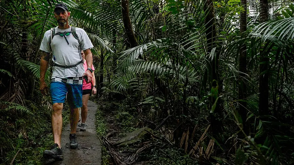
Forest Road 10 excludes public vehicles, so you reach El Yunque Peak on foot. The Forest Service names the Mt. Britton trailhead as access to the peak structure during the Mt. Britton Tower closure.
Our pick: the Mt. Britton trailhead if your goal is the peak structure and current notices permit access. The 2.6 miles measure El Yunque Trail itself. Your total walking distance depends on the starting point.
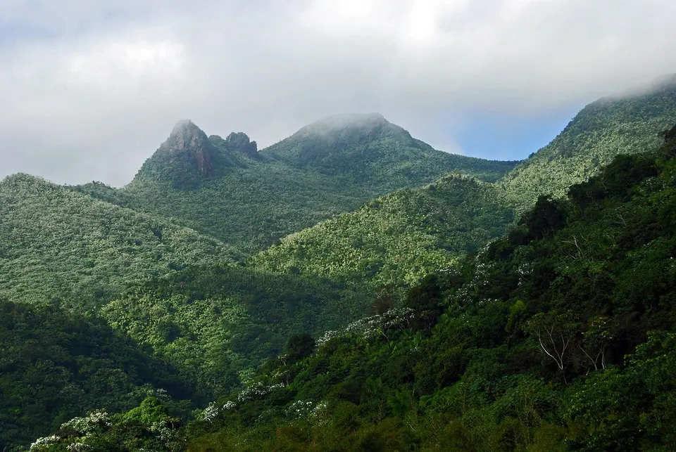
Los Picachos is a spur of 0.2 miles off El Yunque Trail. The stone platform has views in every direction. You reach the platform by an extremely steep stone staircase.
From the lower end of El Yunque Trail, the approach to Los Picachos is about 2 miles. The 0.2 miles cover the spur alone. Carry enough water for the approach and return; Los Picachos has no drinking water.
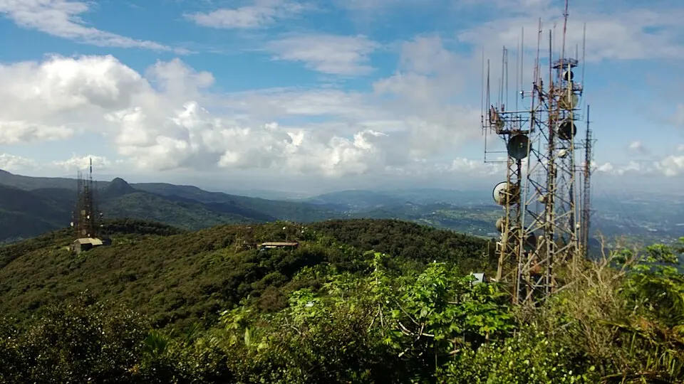
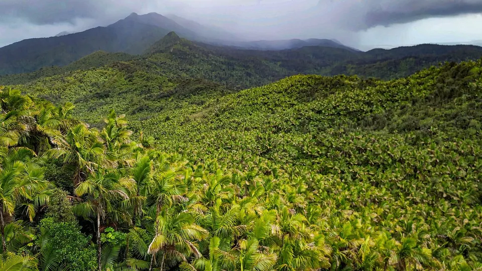
We compared all 162 El Yunque tours and kept 71 on reviews and ratings. How we pick tours
Forest road tour4.95 166 reviews 96% five stars
from $125 per person
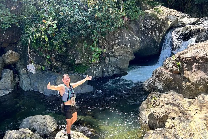 Waterslide tour
4.95 279 reviews 97% five stars
from $40 per person
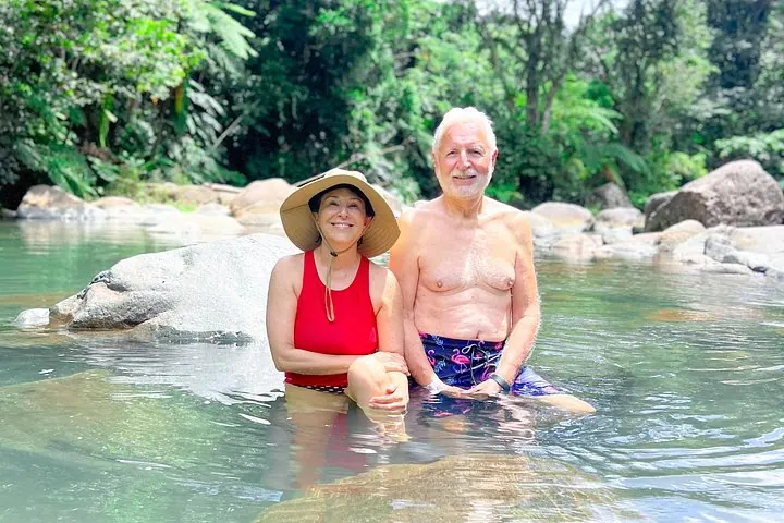 Guided hike
4.97 91 reviews 97% five stars
from $91 per person
The label at the top of this page shows the status of El Yunque Trail for today, from Forest Service data refreshed every hour. Any dated closure notice appears beside it.
The Forest Service lists El Yunque Trail as 2.6 miles one way. Your route to the summit depends on the access notices. Walking the full trail out and back totals about 5.2 miles. Access trails add to your walking distance. Your route must follow the trail notices.
El Yunque Peak stands 3,494 feet above sea level, the second-highest peak in the forest by the Forest Service. El Yunque Trail reaches 3,445 feet at the upper end of its elevation range. The full trail starts at 2,067 feet. Your climb gains 1,378 feet over the full 2.6 miles one way.
You cannot drive to the top of El Yunque; Forest Road 10 excludes public vehicles. The road serves administrative traffic. Your trip to the peak tower requires a walk. The Forest Service names the Mt. Britton trailhead for access to the peak structure during the Mt. Britton Tower closure.
Hiking to El Yunque Peak takes about 1 hour uphill from the Mt. Britton Trail junction. The estimate applies only to the climb beyond that junction. Your approach and descent add time. You should begin leaving the PR-191 corridor at least 15 minutes before 5 p.m.